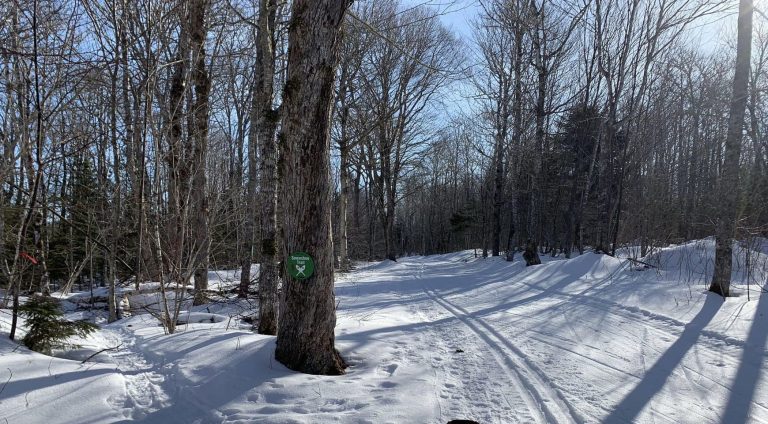
This is a well-maintained XC ski park that is used for hiking and biking in Summer/Fall. It is comprised mostly of wide paths with a few new single pathways in the mostly wooded property. Trail configuration is stacked loops with hikes from as short as you like to possibly 20+km. There is ample parking at the clubhouse next to the Souris Line Road. There are a few damp areas with many intertwining loops and offshoots. There are some quiet glades with large trees in much of the slightly rolling terrain. A stream runs through with a several sturdy bridges. For an extra long trek, the recreationist could link into the Townshend Woodlot, a bit to the north which would include some Confederation Trail to form a large loop. GPS recommended if you plan a longer hike.
Trail Quick Facts
Difficulty Rating: 3.0
Length: 1.0 – 20.0 km
Structure: Stacked Loop
GPS Location: 46 24.143,-62 15.120
Environment: Wilderness
Surface Type: Grass or Vegetation, Forest Floor
Trail Location: At Souris Striders XC ski park on Souris Line Road north of Souris, Kings County
Trail Directions: Go to Souris, turn North on the Souris Line Road (# 305). Go 5.5 km to Souris Striders Lodge, plainly visible near the highway on the left. The lodge is just a bit before where the Confederation Trail crosses # 305. Park there and follow the signs/path into the trail network.
Information sourced with permission from www.islandtrails.ca

