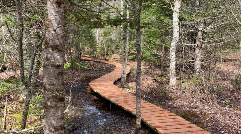
A hiking-only trail that has an easy loop near the main trailhead and more difficult loops further on. Much of this trail system was developed in 2008 and now encompasses 15 km if all loops are included. It features substantial bridges over streams, boardwalks over wet areas and clay steps cut into steeper slopes. The trail runs mostly through forested land although there are a few open areas such as a clear cut field that was recently replanted by Boy Scouts. There are many stream crossings and much up and down terrain in portions, thus the “difficult” designation. Part of the original trail is known as the “birding loop” since it “offers a mostly closed canopy and excellent late spring and early summer birding” (Nature Trails of PEI).
Trail Location: Queen’s County about 8 km south of Mt. Stewart
Directions: North on Highway 216 from Vernon River to the end at Highway 214. Trail head parking is just past 214 on the left (west) side.
Trail Quick Facts
Difficulty Rating: 4.0
Length: 2.8 – 15.0 km
Structure: Stacked Loop
Island Trails Approved: yes
GPS Location: 46 17.032,-62 49.082
Environment: Wilderness Surface
Type: Forest Floor
Information sourced with permission from www.islandtrails.ca

