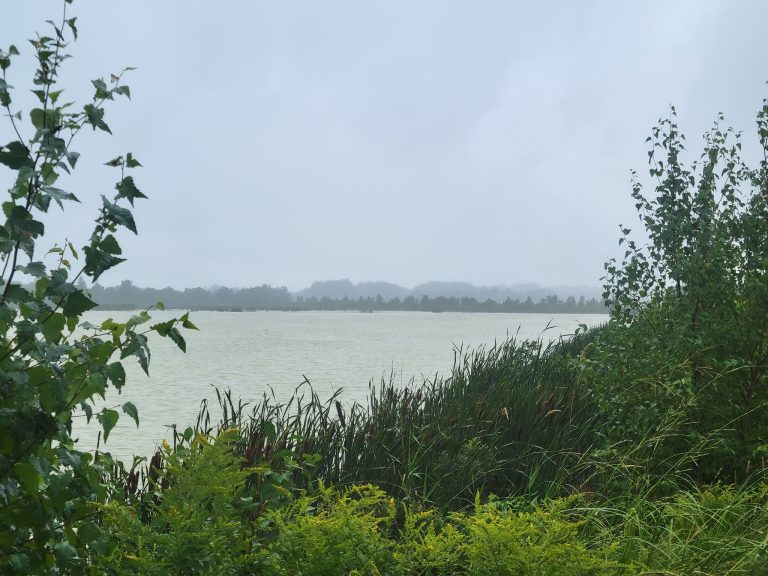
This 3km trail passes through a diversity of habitats from agriculture land and wetlands to wooded areas with an abundance of plants and animals. Look for the waterfowl that nest in the old lagoon, muskrat and also beaver that are always busy chewing vegetation. During the gaspereau spawning run, you could see upwards of 20 Bald Eagles resting along the shore or fishing for gaspereau. Pigot’s Trail offers scenic views of the Island’s first Canadian Heritage River – the Hillsborough. The Acadian dikes which were once the mainstay of Acadian farms are still visible beside the trail. For more information go to www.mountstewartpei.com
Where it begins
Take # 2 Highway to Mt. Stewart. Travel to the east end of the village of Mt. Stewart over the bridge and turn left just past the corner where Main Street meets Hwy. 22. The Trail begins at the Confederation Trail near the old railway bridge. The Pigot’s Trail sign is at the entrance. Once you pass over the small bridge, go to your left and look out over the marsh. You will observe an eagle feeding station and perch where they may be feeding.
Traveling the Trail
Traveling up along the Trail you will see the old lagoon. Here, several species of wildlife may be seen. As you are traveling past an agriculture field, you will note some trees that were planted to create a buffer zone to protect the river. Next you will come to the gravel portion of the Trail at the Ducks Unlimited pond. Follow this around (approx. 0.8 km), as you enjoy a view of the Hillsborough River. There is a resting point and observation tower, halfway around the pond.
After you leave the gravel portion of the Trail, you travel approx. 0.2 km on a dirt road to the entrance of a nature trail. The Trail is mainly for walkers but experienced bikers can also navigate it.
If you choose to follow the Trail, you will pass over a small corduroy road part of the Trail and foot bridge. The Trail loops back to the start by following the back side of the Ducks Unlimited pond.
If you choose to follow the dirt road to the end, take a right and you will return to Mount Stewart.
Trail Quick Facts
Difficulty Rating: 2.5
Length: 3.0 – 3.0 km
Structure: Stacked Loop
GPS Location: 46 21.953,-62 51.727
Environment: Rural
Surface Type: Clay Road, Gravel,Grass or Vegetation, Soil
Information sourced with permission from www.islandtrails.com

